Orano
McArthur River

Imaged a compact high-grade uranium deposit at ~600 m depth
PROJECT OVERVIEW
Muon geotomography successfully imaged a compact high-grade uranium deposit under 600 m of sandstone at the McArthur River uranium mine. These deposits are virtually impossible to detect with conventional geophysical exploration techniques.
SITUATION
Canada’s Athabasca Basin hosts the highest-grade uranium deposits yet found. This ore body at the McArthur River mine in Saskatchewan, Canada, is near an unconformity, above the basement rock, but under almost 600 m of sandstone. In addition to the depth, other challenges include complex geology and naturally occurring radiation.
IDEON SOLUTION
Muon detectors were placed at a depth of 600 m providing a large field of view (over 1 km across on the surface) with sufficient locations to enable good 3D imaging of the deposit despite complex geology.
OUTCOME
Muon geotomography successfully imaged this high-grade uranium deposit with high statistical significance, demonstrating a new technique for discovering hard these hard-to-detect deep compact high-grade deposits.
Deposit: High-grade unconformity-related uranium
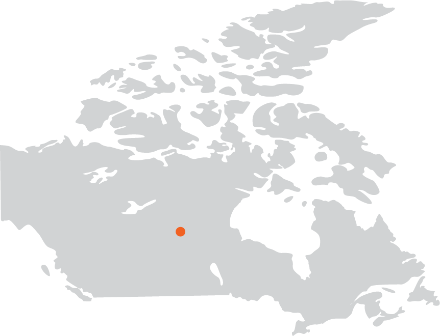
Location: Athabasca Basin, Sasketchwan, Canada
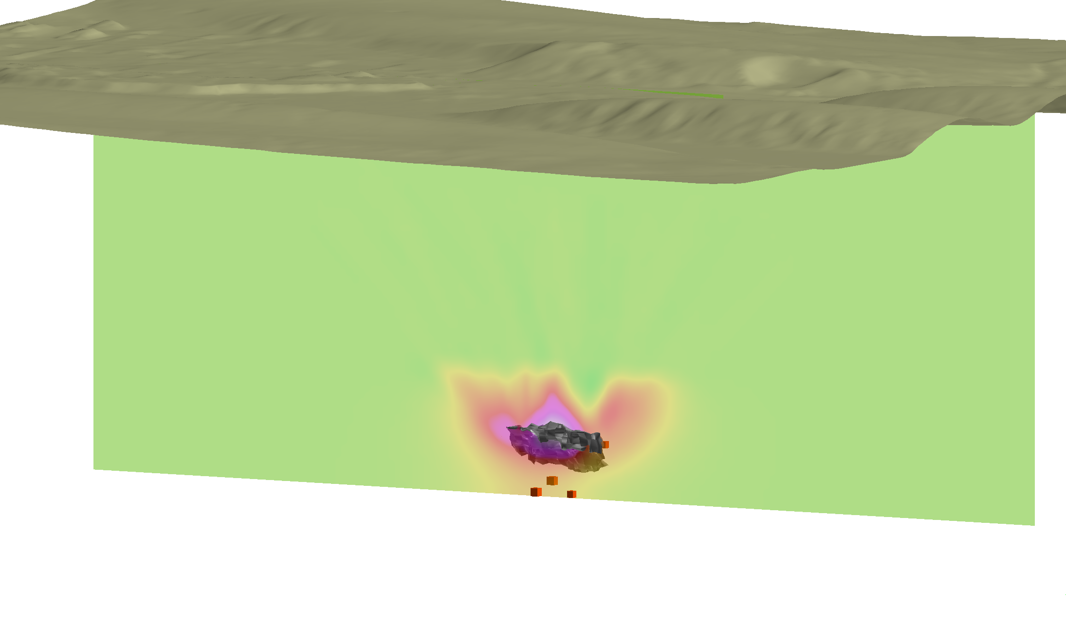
Overview of project showing the compact ore shell at about 600 m depth, the detector locations (cubes) and a section of the density profile from muon data.
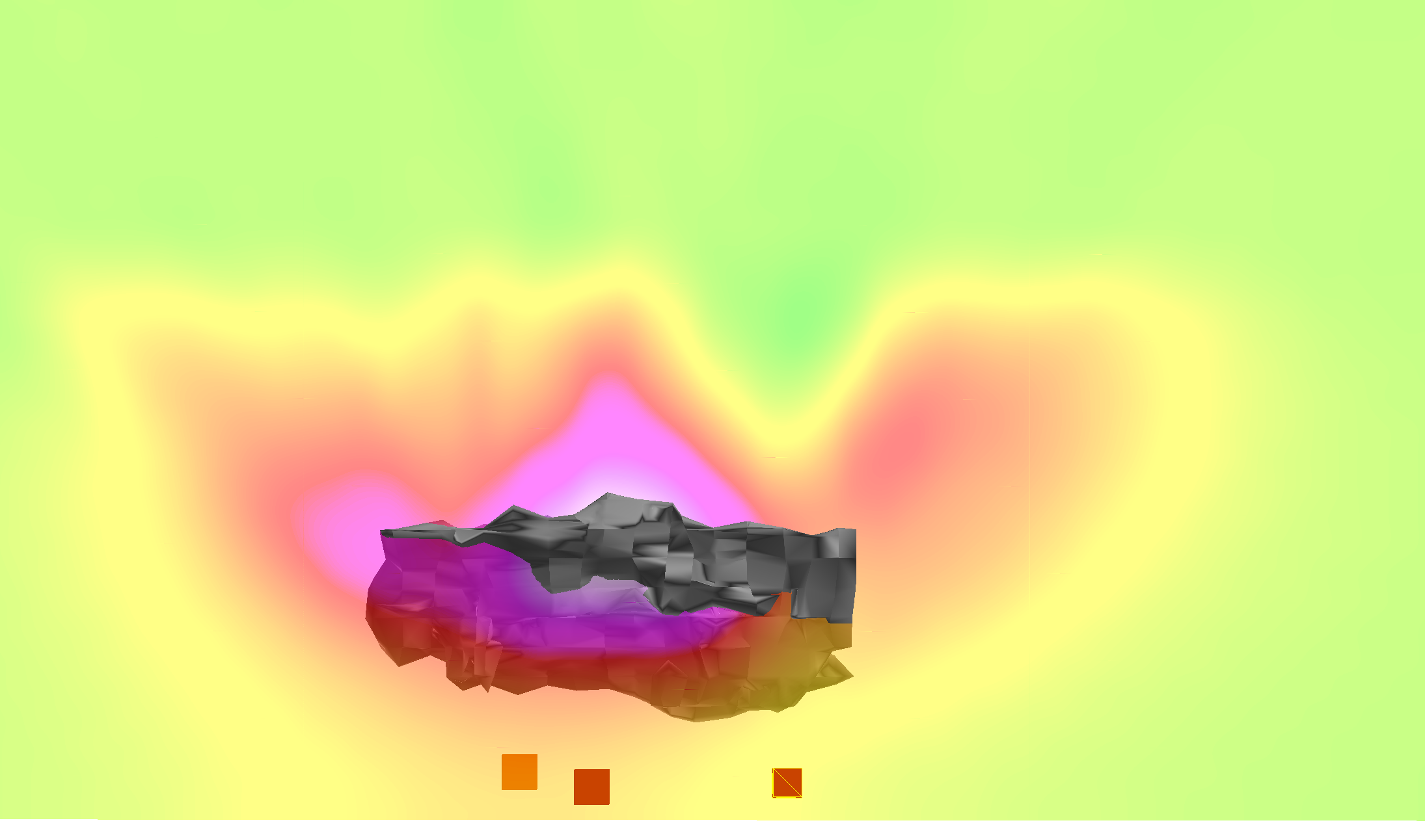
Closeup of ore shell model with section of density profile from muon data. Detectors are shown as cubes.
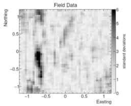
Radiometric image from one muon detector showing the high-grade deposit (dark region).