Unlocking
Subsurface Potential
Ideon is revolutionizing how the world unlocks critical minerals for the clean energy transition.
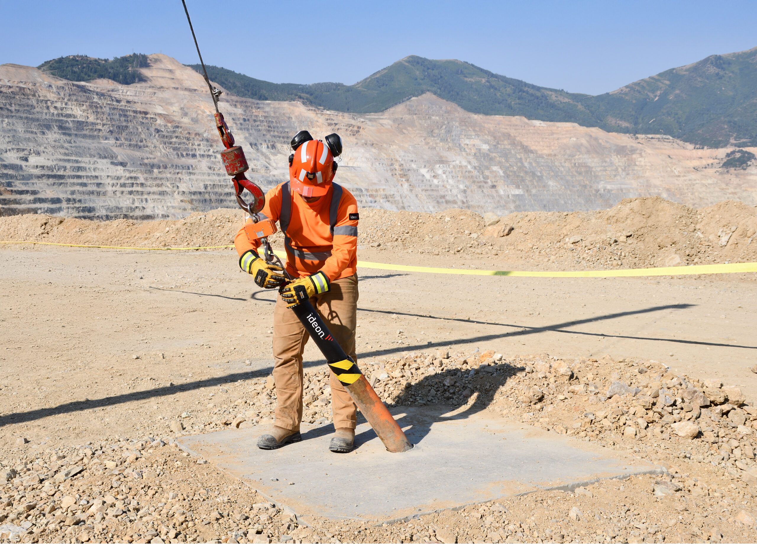
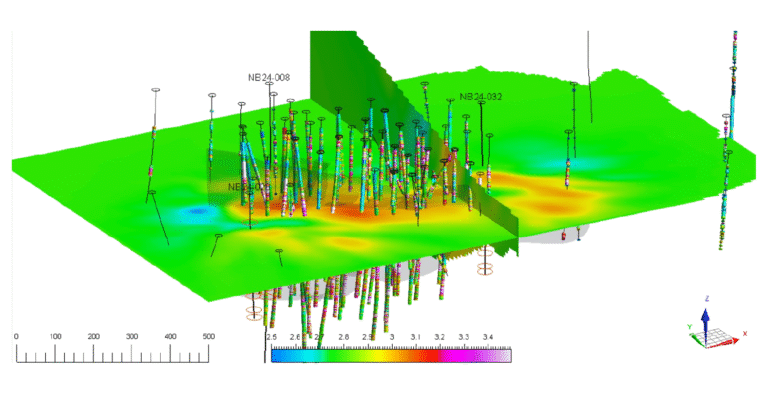
The Ideon REVEAL™ platform enables the mining industry to confidently identify, map, and monitor mineral deposits and other subsurface anomalies.

There is no clean energy without mining.
The average electric vehicle requires more than 45 kg/100 lbs of nickel and lithium, wind farms require more than 4 tonnes of zinc, and solar arrays need more than 5.5 tonnes of copper.
The energy transition depends on metals. Demand for key resources has outstripped supply, resulting in a global supply chain crisis. We must address a $12 trillion shortfall in metals supply to meet global climate change goals. Over the last 10 years, mineral discoveries and ore grade have declined 75%, with metres drilled per discovery up nearly 200%. Cost per discovery has increased by 400%, and carbon emissions are up over 40%.


The problem is geologic uncertainty.
Humans have been mining the Earth for tens of thousands of years. Most near-surface mineral deposits have already been discovered, forcing mining companies to search deeper underground.
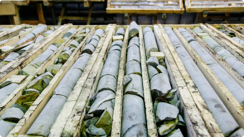
With no way to know what lies beneath, those companies drill hundreds of narrow holes, performing geological biopsies and inferring what may lie between those holes. Without geological certainty, these companies are basing billion-dollar decisions on 1% of 1% of ore body knowledge. It’s risky, costly, and unreliable.


Helping the world’s largest mining companies reduce geologic uncertainty.
Latest case study
Awards & Recognition
Ready to reduce geological uncertainty?
Let’s discuss your project and how we can help.


