Resource Hub

Learn more about the science behind what we do, the results we’ve published, and how our team is accelerating the transition to low-impact mining.

Video Gallery

  • December 31, 2024

    Innovate BC’s Ignite Awardee Spotlight: Ideon Technologies + Dr. Shaun Barker, UBC

    Ideon and UBC are showcased as part of Innovate BC’s Ignite program.

    Watch

  • November 6, 2024

    Ideon is Revolutionizing Mining with 3D Imaging

    Pacific Economic Development Canada (PacifiCan) showcases Ideon following their funding announcement.

    Watch

  • November 1, 2024

    BC Tech Webinar: Tech Innovation Across Industries

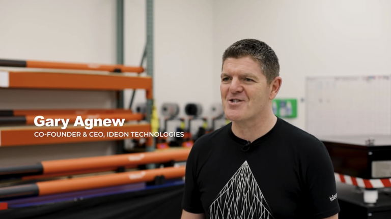
    Gary Agnew, Ideon CEO & Co-Founder, joins a panel of BC tech companies discussing how tech innovation is transforming traditional industries.

    Watch

  • October 1, 2024

    Case Study Webinar: New Gold’s New Afton Block Cave Mine

    Ideon CTO and Co-Founder, Doug Schouten, highlights the results from the first-ever block cave monitoring program using the Ideon REVEAL™ for Caving solution.

    Watch

  • July 11, 2024

    Stanford Mineral-Z Symposium 2024: Innovations in Geophysical Solutions

    Doug Schouten, Ideon CTO and Co-Founder, joins a panel discussion innovations in geophysics at the Mineral-X Symposium.

    Watch

  • April 29, 2024

    Case Study Webinar: BHP’s Leinster Mine

    3D walkthrough presentation highlighting the results from the multi-site, multi-phase, multi-physics program with BHP in Western Australia.

    Watch

  • April 29, 2024

    Exploring Earth’s Depths with Revolutionary Tech

    In-depth interview and walkthrough of the BHP Leinster imaging program results.

    Watch

  • November 27, 2023

    Ideon’s X-Ray Like Earth Imaging Used by BHP, Rio Tinto, and Glencore to Detect Critical Minerals

    Kim Lawrence, Ideon’s VP Talent & Customer Experience, shares how collaborating with companies like BHP helps scale impact across the mining industry.

    Watch

  • November 12, 2023

    New Subsurface Imaging Approach to Accelerate Discoveries

    Gary Agnew discusses the value of muon tomography, and commercial contract momentum with major mining companies.

    Watch

Frequently asked questions

A muon — pronounced myoo-aan named for the Greek letter mu (μ), which is used to represent it — is a naturally occurring sub-atomic particle produced by cosmic rays striking the Earth’s atmosphere. These rays are not harmful to us or any other life on the surface of Earth. Muons pass through the surface of the Earth on average about once per minute for every square centimetre. To make it more personal, a muon passes through your head once every second!

Muons lose energy progressively as they pass through the Earth’s surface. As they encounter higher-density material, muons lose energy at an accelerated rate, which reduces their intensity. The intensity, and hence the density of the materials encountered, can be measured.
Muon tomography maps the intensity of cosmic-ray muons underground, measuring the physical properties in a targeted search area, much like medical tomography images the interior of the body using x-rays. The resulting images are combined to produce a 3D model of any anomalies present. “Geotomography’ is tomography specific to the Earth.

Muons travel in straight lines from cosmic rays colliding with matter in the Earth’s upper atmosphere. Muons are slowed down as they enter the Earth’s surface, as they encounter material of different densities. Subsurface detectors in the survey area measure muon intensity, creating a 60° field of view (120° in total). The data captured by the detectors is transmitted to the surface, then via satellite to the Ideon cloud. The data is transformed into x-ray-like images of density anomalies in the survey area. Inversion technologies create subsurface 3D density delivered into client software tools.

Each of our imaging programs is tailored to the specific parameters of the client site and geological challenge. The factors we consider when forward-modelling a deployment include: size, depth, and geometric orientation of the target; the density contrast between the target and the host rock; the resolution required for optimal decision-making; the proximity of the target to our sensors; and the overall topography of the area. To deliver an accurate 3D model, we place multiple detectors at different depths and positions to provide different perspectives of the target.

We capture and measure muons at the rate they are generated by the universe. Depending on the depth of the project, size of the target, and density contrasts involved, this can require weeks to months of downhole imaging time. For time-sensitive projects, we are able to double the number of detectors to halve the imaging time required.

Muon tomography is the only straight-line subsurface imaging technology available today, delivering the highest available resolution along with precise anomaly location information. It uses a passive and free energy source (from space), offers the ability to image in noisy or conductive environments (where other techniques do not), provides insights from depths that other techniques cannot, and captures data continuously – improving imaging results over the course of a survey. This unique data source, combined with Ideon’s proprietary processing algorithms and multi-data-set analysis, gives our clients a comprehensive set of subsurface intelligence that they’ve never had access to before.

No, we don’t. Ideon offers a solution-as-a service – a simple approach that includes hardware, software, analysis and insights generation that creates value by unifying historically disparate data sets. We handle everything, from the design and deployment, through detailed analysis and equipment retrieval/redeployment, making it easy for our clients to get the subsurface intelligence they need.