REVEAL™
for Geotech
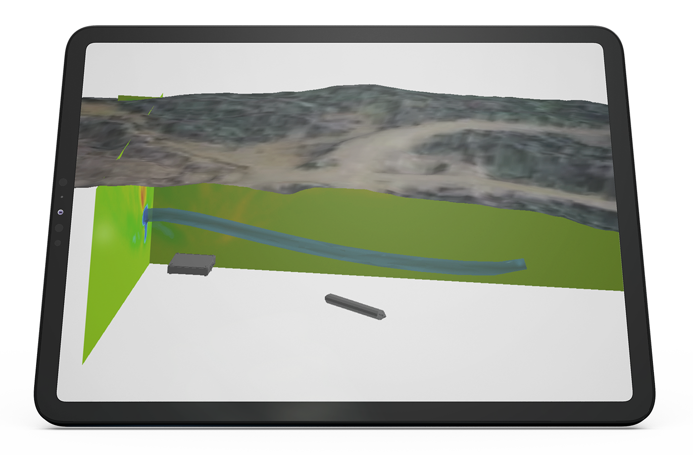
High-resolution 3D imaging to identify and monitor low-density structures, voids, and geotechnical instability drivers.


Assess geotechnical hazards early, improving the safety of workers, equipment, and infrastructure.
Characterize poorly delineated voids and legacy backfilled zones with precision, quickly and non-invasively.
Reduce operational disruptions and accelerate mine planning with reduced geotechnical uncertainty.
Create visibility. Optimize productivity. Safer.
“One of our goals for the deployment of muon tomography at Creighton was to accurately identify subsurface voids and rubble zones around the active mine site to help aid in geotechnical de-risking. The outcomes validated our existing data and enhanced our knowledge meaningfully.”

Ideon reduces geotechnical uncertainty, giving you confidence to operate safely.
Ideon has demonstrated how mapping unknown voids with confidence can allow mining to resume and liberate more than $250M of minerals previously rendered inaccessible on one site due to ground stability uncertainty.
We identify and map subsurface voids, understand water flow in mine, inform slope instability and geotechnical risk assessments, and keep your people and equipment safe as you get critical metals to market.
Gain an unmatched understanding of the geotechnical environment, de-risking operations and unlocking economic value:
Reduce the time and costs to understand by >80%
Quickly build a macro view the geotechnical environment, identifying potential hazards faster and with precision. Focus drilling activity on validation and mitigation rather than hazard discovery.
Unlock millions in value
Identifying geotechnical risks early reduces the likelihood of unplanned shutdowns and schedule disruptions, and