Unlocking
Subsurface Potential™
The Ideon REVEAL™ platform is based on a fully integrated technology stack, delivering actionable subsurface insights to drive success in operational and safety performance.

The foundational tech stack behind the REVEAL™ platform
Our suite of proprietary data-generation hardware, software, AI-powered services, and multiphysics fusion algorithms unlock the exponential power of integrated spatial data.
A dynamic, high-resolution data model of the subsurface, ensuring that insights and decision support are perspicuous.
Our technology transforms unique, disparate data sets into powerful visualizations, meaningfully enhanced by a user face enabling collaboration and traceability, and focused AI augmentation to navigate the complexities of geoscience data.
Applying deep numerical programming expertise, enhanced by academic collaborations with Stanford University’s Mineral X program, the University of British Columbia’s Mineral Deposit Research Unit, and Simon Fraser University.
Focused use of artificial intelligence allows high precision targeting from muon tomography, generative data inversion models driven by a comprehensive geological framework, and 3D prospectivity mapping.
Our multi-physics data inversion algorithms fuse proprietary, high-resolution muon data with existing lower-resolution geophysical data. Combining measurements from magnetic, gravitational, seismic, and muon tomographic data streams yields integrated and refined Earth models for subsurface clarity.
We deliver quantified measures of uncertainty throughout the dynamic 3D and 4D models, leading to more confident subsurface interpretation.
Drill core
Gravity
Magnetic
Geochemistry
Muon Tomography
Resistivity
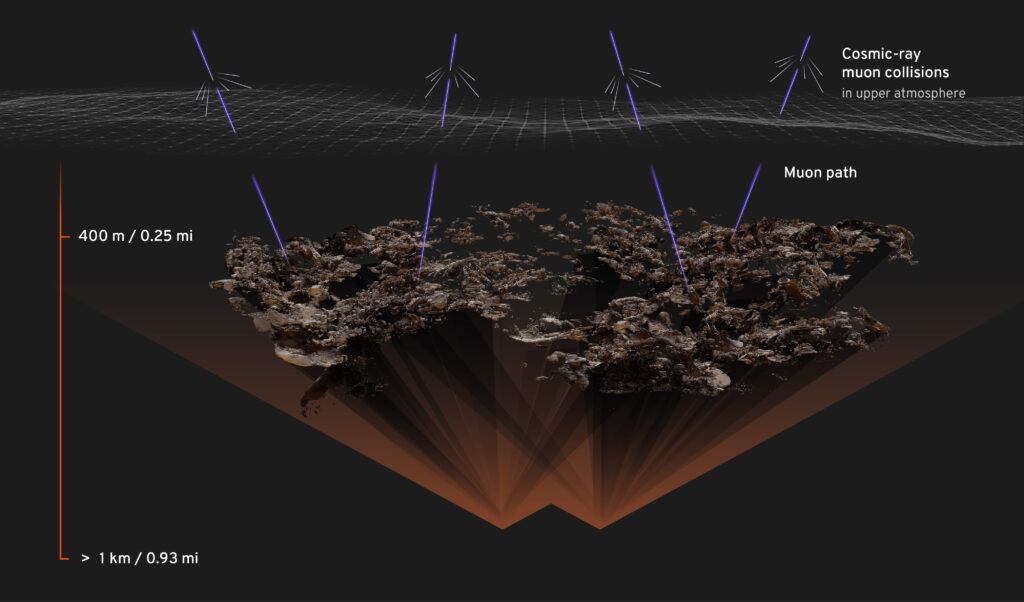
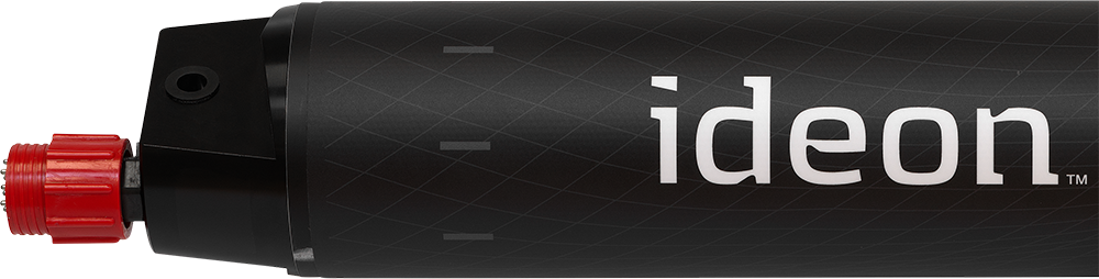
Our proprietary muon sensors enable this world-leading subsurface imaging technique, delivering superior resolution and depth capabilities compared to other methods.
FEATURED TECHNOLOGY
Muon Tomography
Our foundational imaging technology – muon tomography – is the only straight-line subsurface imaging technology available today, delivering the highest available resolution along with precise anomaly location information.